These novel LiDAR-based solutions will be used to map planetary bodies, service satellites, and detect hazards in space.
May 3, 2022, Pittsburgh, PA – Astrobotic has won two NASA Small Business Innovation Research (SBIR) Phase II contracts worth $1.5 million to further advance novel Laser Imaging, Detection, and Ranging (LiDAR) software solutions. When space qualified, these software packages will support in-space satellite servicing as well as safe landing on celestial objects such as the Moon or asteroids through accurate hazard detection.
The first contract, valued at $750,000, is for Astrobotic’s HazNet system, which leverages hardware acceleration and machine learning to produce real-time hazard maps of potential celestial landing sites. This program will result in a prototype sensor package for HazNet, building upon previously developed hazard detection models and techniques. The prototype sensor will be run through a series of demonstrations to evaluate overall performance.
“Though machine learning is common on Earth, we don’t see it leveraged as frequently in space. Astrobotic’s HazNet technology is on the leading edge of optimizing machine learning for space applications,” said Kori Hough, Senior Engineer at Astrobotic. “The most important outcome of this new contract will be HazNet enabling safe celestial landings through more robust hazard detection.”
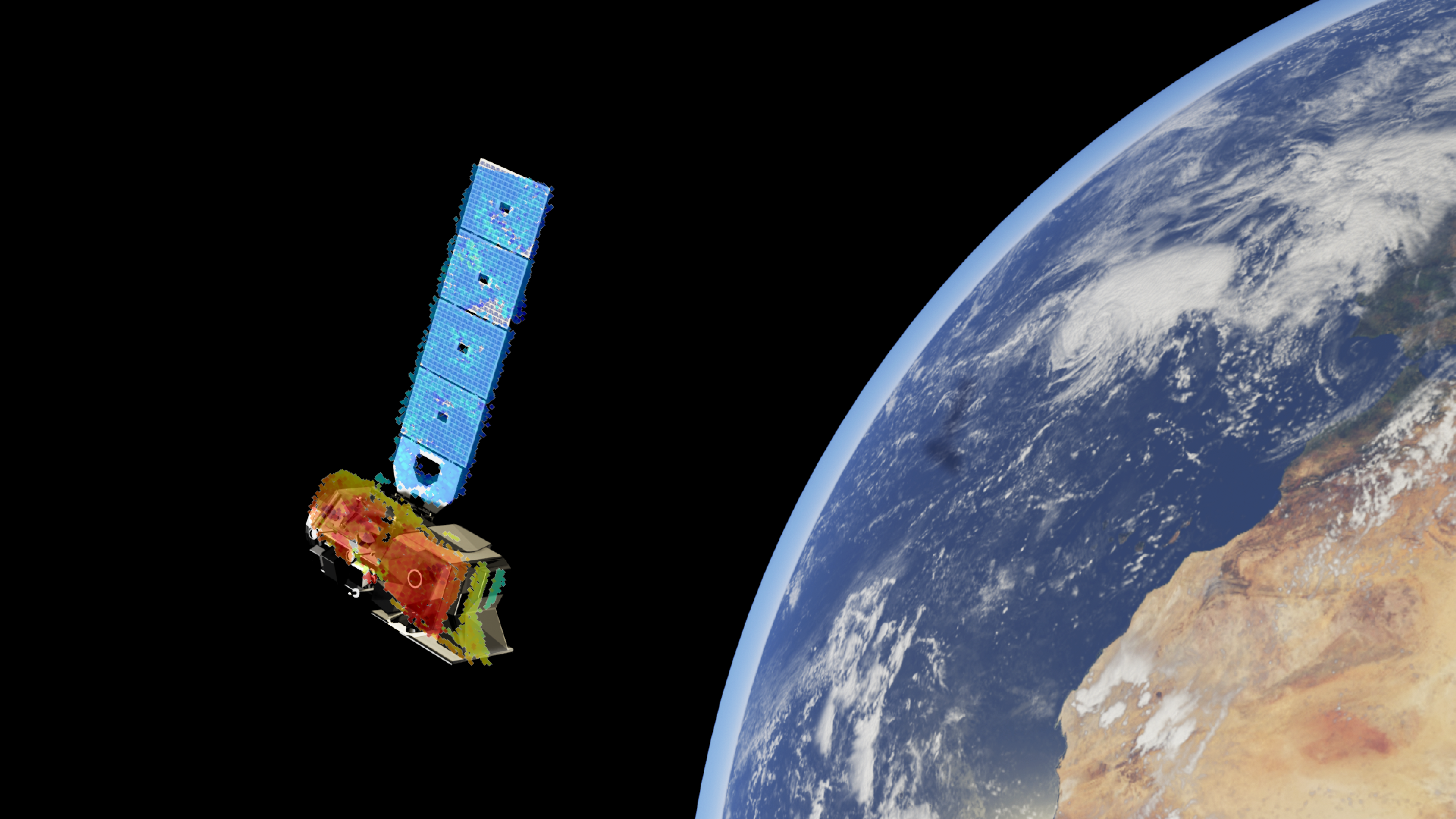
The second contract, also valued at $750,000, is for Astrobotic’s LiDAR-Inertial Navigation (ALIN) solution for Rendezvous, Proximity Operations, and Docking (RPOD). While ALIN was proven through its SBIR Phase I contract to be a modular and versatile software, this new funding will demonstrate its use of LiDAR Simultaneous Localization and Mapping (SLAM) to provide navigation and mapping capabilities. These simulations will optimize ALIN’s capacity to be effective in non-cooperative applications and in the presence of shadowing or total darkness. Specifically, ALIN could be useful for various NASA missions that require RPOD and On-orbit Servicing, Assembly and Manufacturing (OSAM) to service and refuel existing satellites.
“ALIN adds a highly flexible, robust option to the toolkit of next-generation missions like satellite servicing or refueling. It leverages our heritage work in autonomous LiDAR processing to rapidly generate navigation inputs,” said Ryan Blinn, Astrobotic’s Director of Space Robotics. “Unlike traditional approaches, it does not require extensive maps or prior knowledge of the spacecraft or debris, making it well suited for real-world usage where information is often imperfect.”
Work on Astrobotic’s LiDAR systems will continue throughout 2024. Phase III, if awarded, could yield a flight-ready system of both HazNet and ALIN, providing an opportunity for use on smaller CubeSat-style missions or aboard the International Space Station.